Spatial data

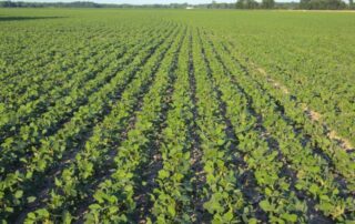
Using drone-based imagery to manage soybeans

Can we use drones to better manage our soybean crop? We think so and intend to set out to validate it through a case study in 2016. So stay tuned and learn more. The last two years we have heard a lot about using drones to capture images of crops and about everything else we can think of. There are a number of aerial platforms available now, some quite inexpensive depending on the type of aircraft and camera. Copters are much less expensive than fixed wing aircraft and either can be configured with an RGB (visual) or IR (infrared) camera. [...]

By |May 24, 2016|

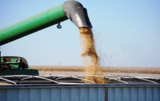
Diagnostics: Analyzing Yield Data – Using the Technology to Learn More (Part II)

Watching a yield monitor and collecting yield data is easy and it’s easier than ever to transfer it to a computer and through a wireless network. But the challenge is—do you actually analyze the data and do more with it than just making pretty maps? Mapping yield is a great tool at harvest. Not only can you track yield and moisture during harvest, you can do yield checks on the go by identifying loads as part of an on-farm research program. But the real value of yield maps comes from linking it to other data sources, doing analysis and [...]

By |November 12, 2014|
Go to Top